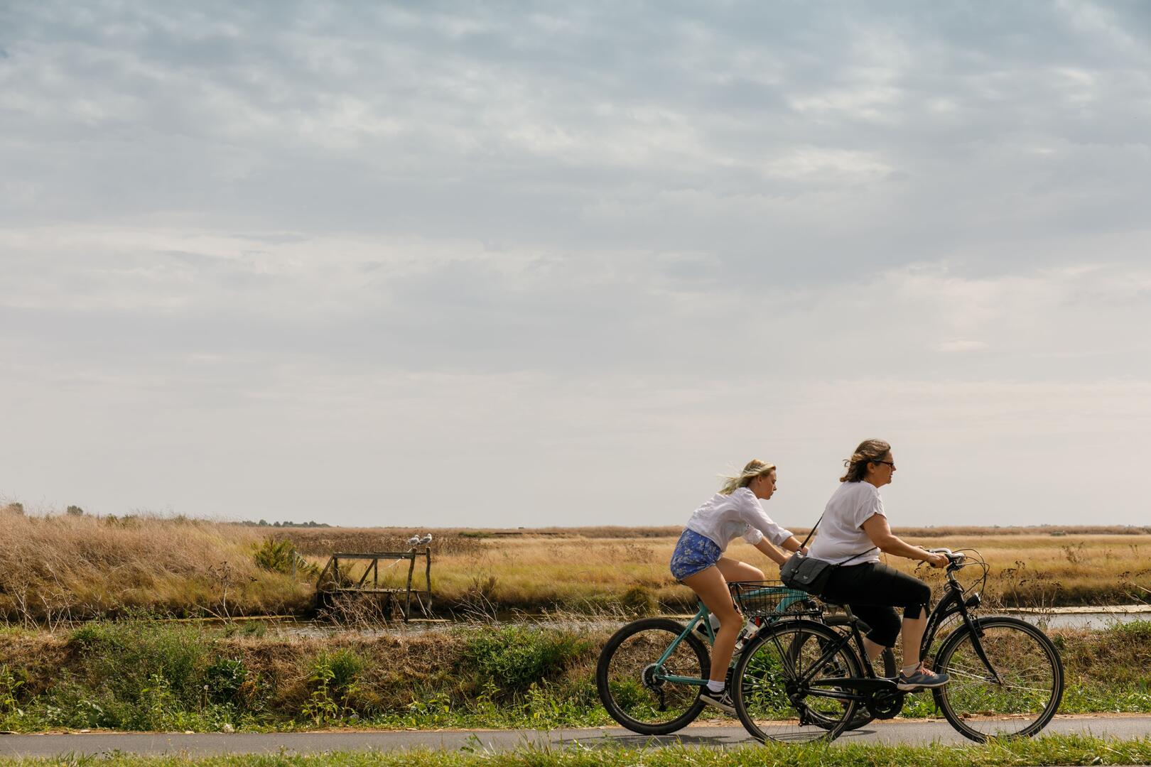
Le chemin des marais à vélo
Sport, Cycling sports, Cycle tourism route
in La Couarde-sur-Mer
19.1
km
2h
Medium
- Departure
- La Couarde-sur-Mer
-
-
Difference in height
- 38.6667 m
-
-
-
Plain text period
- All year round.
-
-
-
Environment
-
-
-
Spoken languages
-
-
-
-
-
Documentation
- GPX / KML files allow you to export the trail of your hike to your GPS (or other navigation tool)
-
- See all reviews
- 39 meters of difference in height
-
- Maximum altitude : 6 m
- Minimum altitude : -2 m
- Total positive elevation : 39 m
- Total negative elevation : -41 m
- Max positive elevation : 4 m
- Min positive elevation : -6 m